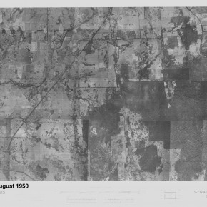
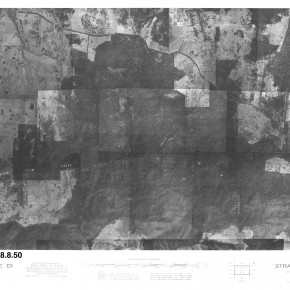
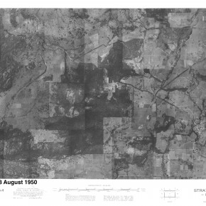
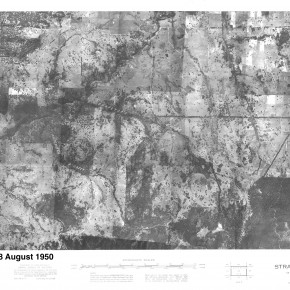
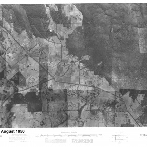
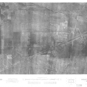
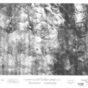
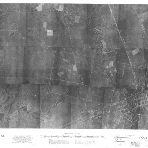
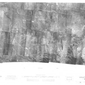
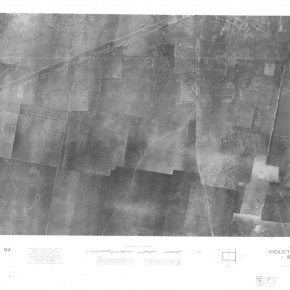
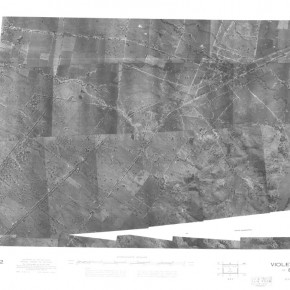
Historic B&W aerial photos
Beginning during WWII and into the 1960’s (approx. 1940-60) the Strathbogie Ranges and most of Victoria were aerially surveyed for the first time. Those thousands of individual B&W photos have been stitched together to form very useful photo-mosaic images of larger areas. Though there are some gaps, these mosaic images cover much of the Strathbogie Ranges Conservation Management Network area.
Strathbogie District Aerial Photos
